Hiking things that are difficult:
- Completing miles 11-12 of a long hike
- Carrying a 20- or 30-lb backpack
- Teetering on jagged edges of unstable rocks
- Downclimbing a steep rockslide, -2000 ft over 1 mile
- Finding trail markings in dense night fog with <10 ft visibility
Hiking that is downright treacherous: Doing all of those things simultaneously.
Okay, let me back up and tell you how we got there. (click photos to view in theater mode)
This was a pilgrimage for us — guys who love the outdoors, who adore the forests in the mountains, who long to escape the forest of artifice that is Manhattan. Our destination: the Presidential Traverse, a famous and strenuous trek along the Appalachian Trail that links several peaks in the White Mountains of New Hampshire: Mounts Madison, Adams, Jefferson, Washington, Monroe, Eisenhower, and Pierce. Mount Washington is the highest point in the Northeast at 6288 ft and is notorious for unpredictable weather that includes blistering 100+ mph winds, impenetrable fog, and flash thunderstorms.
Our day began when we awakened at 4 am to start the 7-hour drive up to northeast New Hampshire. At the visitor center, we rented a permit for shelters just 2 mi off the summit of Mount Washington — about 2/3 through the hike — our target rest point for the night. Then, after dropping off one car at the end point, we started on the trail at 1:30 pm.
Segment 1: reach Mount Madison, 3000-ft ascent over 4 mi. Most of our gear was in preparation for the harsh conditions on the peaks and ridges, but that didn’t stop the first segment from being a muggy, sweaty, and shirtless midsummer hike through a forest. Our first obstacle was apparent viral gastroenteritis when our fearless leader found that he was feeling nauseous and lightheaded. His stomach threatened to regurgitate any morsel of food he ate, which was a bad state to be in when burning 5000+ calories in one go. How he hiked up a mountain in that state I do not know.
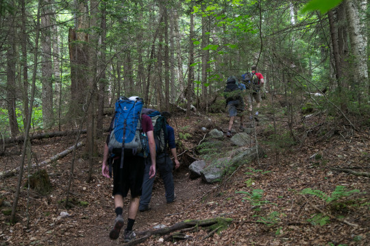
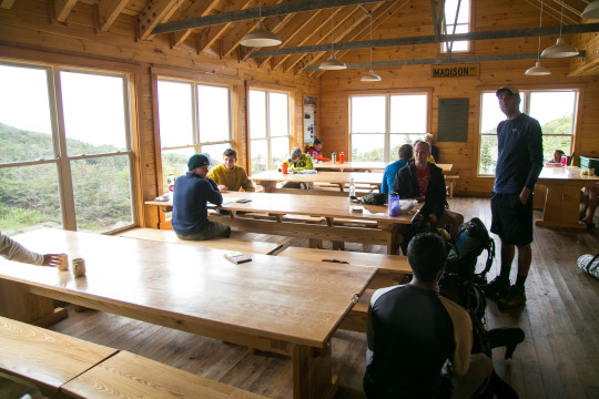
We reached the Madison Spring “Hut,” which turned out to be a really legitimate permanent building with fresh running water and employee “caretakers” cooking a hot dinner for up to 50 guests. A strange place to find 4800 ft up, so we departed in short order.
Segment 2: summit Mount Washington, 6 mi away, going up and down other peaks for about 3500 ft of total climbing. Partway through: “which one’s Mount Washington?” “The dark one in the distance that’s in the clouds.” “… oh.”
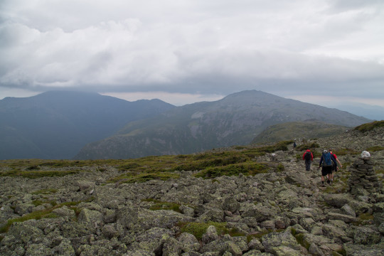
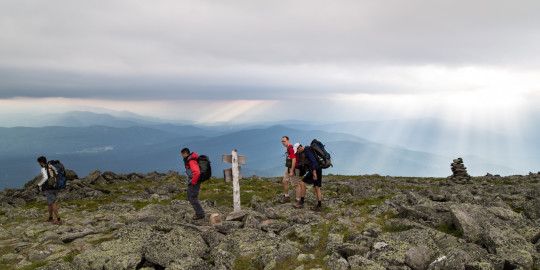
Above the tree line, soil on trails is quickly eroded underfoot to reveal jagged boulders, which then serve as a manageable but rather inhospitable surface for walking. We had to stare at our feet and deliberately place every single step on narrow edges and points of rocks. Especially considering we were carrying packs laden with sleeping gear and many liters of water, it’s a miracle that none of our 10 ankles suffered any serious injury.
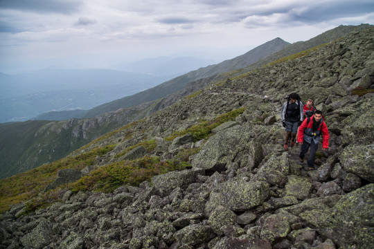
Clearing the tree line once was tiring enough, but as we traced the Appalachian Trail between peaks, up and down and up and down we went. Taxed by lifting 120% of my body weight up a mountain and handicapped by the thinner oxygen content, my heart refused to stop pounding for the entire 10 mi.
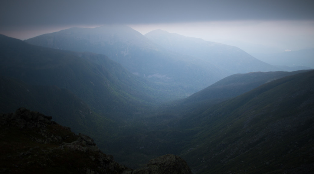
Mount Washington was indeed enshrouded by a bank of dark clouds, and when you walk into a cloud, it becomes fog.
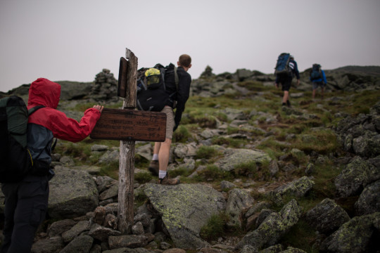
I love fog as a photographic subject. It’s dramatic, it accentuates depth, and it can easily make any scene look ominous. However, fog is elusive, fickle, and only has these photogenic qualities when illuminated from above by the sun. When night falls, fog is a nightmare. If you’ve ever driven in fog, you know. Distant lights loom mysteriously and anonymously, and your own lights do nothing but make the air around you glow and obscure all else. All you can do is hope that the reflective road marker you can see will lead to another, then another, then eventually out of the clouds.
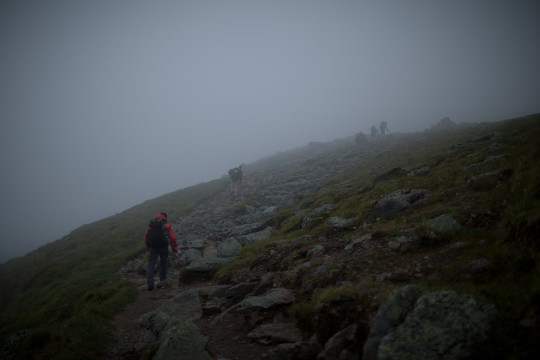
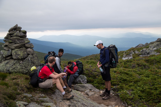
For this reason, I dreaded the descending darkness. Above the tree line, trails are marked by cairns — manmade piles of rocks often topped with brightly colored stones — but they are built perhaps 30 or so feet apart. No problem following them typically (see above pictures), but when it’s dark and the entire damn mountainside is a uniform rockslide field?
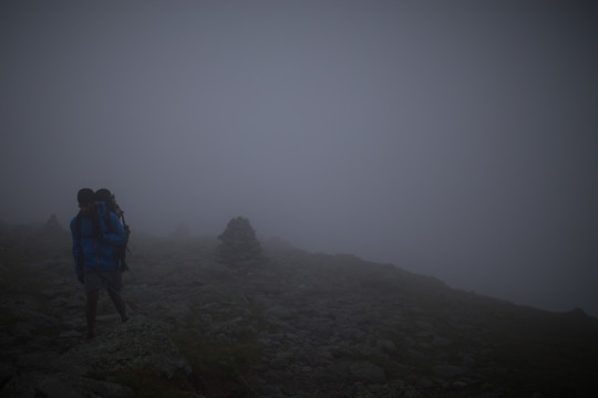
By the way, let’s talk about hiking uphill versus hiking downhill. Sure, going uphill means mechanically overcoming the pull of gravity, but it’s quite simple to use handholds for assistance and to place your next foot on a step that’s in front of your face. In contrast, going downhill is more technical. Aiming your descending foot and ankle at a spot far below your line of vision, controlling the descent with a hyperflexed knee, and stopping the extra momentum from gravity using inner knee ligaments, all torture for your joints.
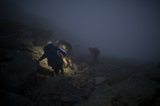
But anyway, we summited Mount Washington at 9 pm. On a good day, you could see Canada from atop the peak. On a bad day like ours, we had trouble seeing each other 15 feet away.
Remember that list of culminating hiking difficulties? Exhaustion from a 10-mile 6500-ft climb; heavy packs; unsteady footing; fading visibility. Time to put them all together. Segment 3: the 2-mile, 2500-ft descent to the campsite.
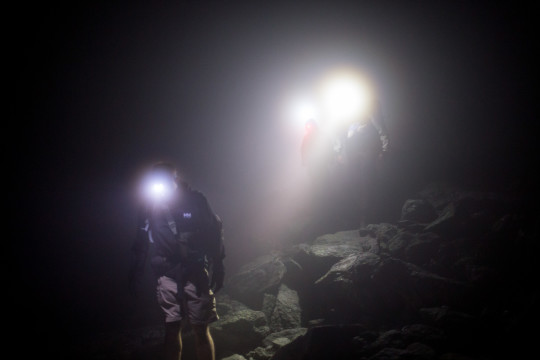
Two of us acted as sweepers, gingerly tiptoeing down boulders on the mountainside, fanning out to see who would spot the next cairn first. Cairns had to be distinguished from cairn-shaped boulders, but when located we shouted into the darkness “CAIRN!” The other sweeper course-corrected to look for the next, the middle two men traced the best path down, and the anchor relinquished his post at the last cairn to progress forward.
I was a sweeper, and this was my job: Look down, take a step, look up, sweep for a cairn. Look down, step, look up, sweep. Look back to broadcast location to followers. Look down, step, look up, sweep. Adjust my headlamp. Lean against the gusts wind. Pray the rain doesn’t come. It was exhausting — both physically and mentally — especially to execute when drained by many previous miles of climbing and precise stepping. Look down, step, look up, sweep. Shout “Cairn!” Climb down to the cairn. Look down, step, look up, sweep.
So there we were, five slowly bobbling wisps of light, cloaked in dark fog, navigating down a treacherous rockslide field on the side of the tallest mountain in the Northeast.
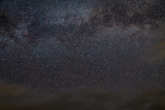
The first 300 meters took an hour. In total, the 2.0 mi descent (horizontally measured; certainly longer considering the angle of descent) took us 3 hours to traverse! We were eager to find our shelter and settle in, and the feeling of “are we there yet?!” hung heavy in the air. Thankfully, as we progressed further down, the path leveled out, the fog lifted, and distant cairns became visible from the previous ones. Even the clouds parted to reveal to us something we could never see while living in Manhattan. We paused for a moment, switched off our headlamps, and looked up to admire the inky sky dotted stars and streaked with the Milky Way.
Epilogue: obviously I’m playing up the hazards of our adventures. At the peak of Mount Washington there was a road, a visitor center, and cell signal; I actually used Google Maps to assist in steering our descent! However, the next day’s imminent thunderstorms loomed as a genuine hazard (e.g. lightning above the tree line, hypothermia when wet, downclimbing slippery rocks), so we forwent the last few peaks and exited the woods early. In conclusion, this was the most difficult and most rewarding hike I’ve ever embarked upon, Bar none (yes, including the snowshoe hike), and I can’t wait to return there. Mr. Presidents, I will be back.
